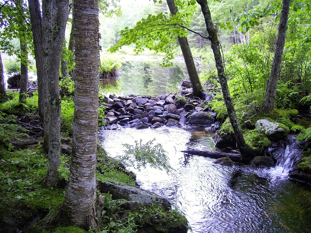
THE IMPOUNDMENT AREA NORTH DAVID POND
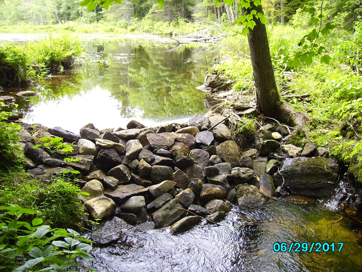
The impoundment, as of 6/29/2017. The water flows from north to south from David Pond to Parker Pond.
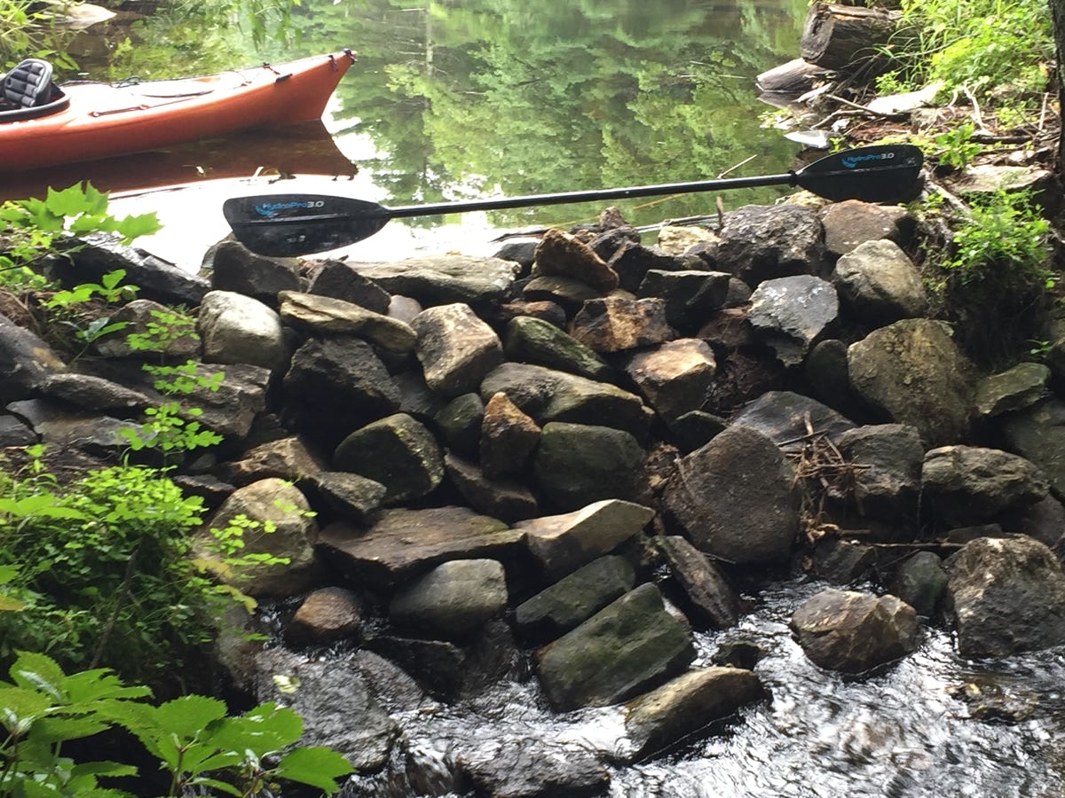
Another view of the impoundment, with a seven foot long kayak paddle for scale.
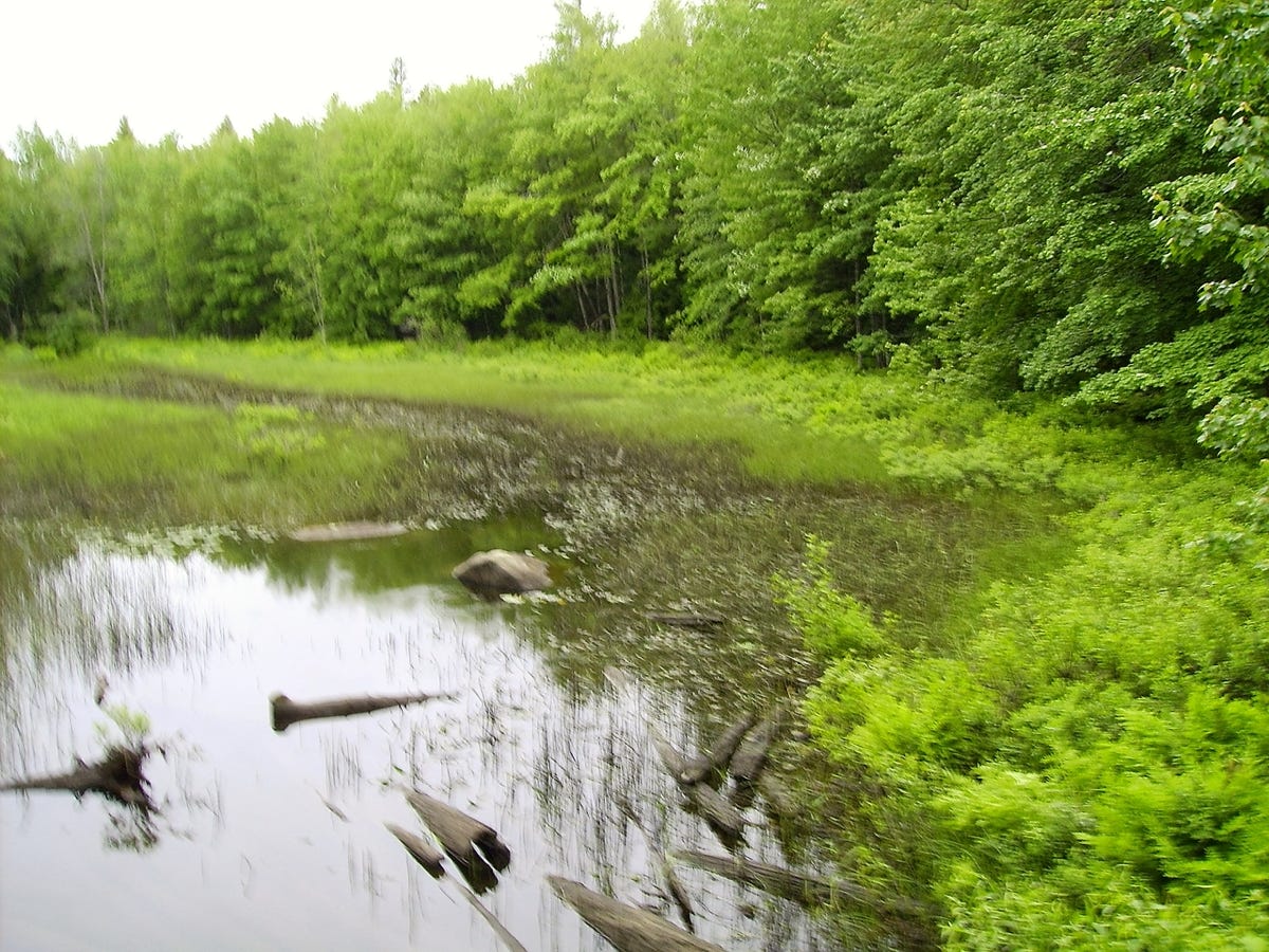
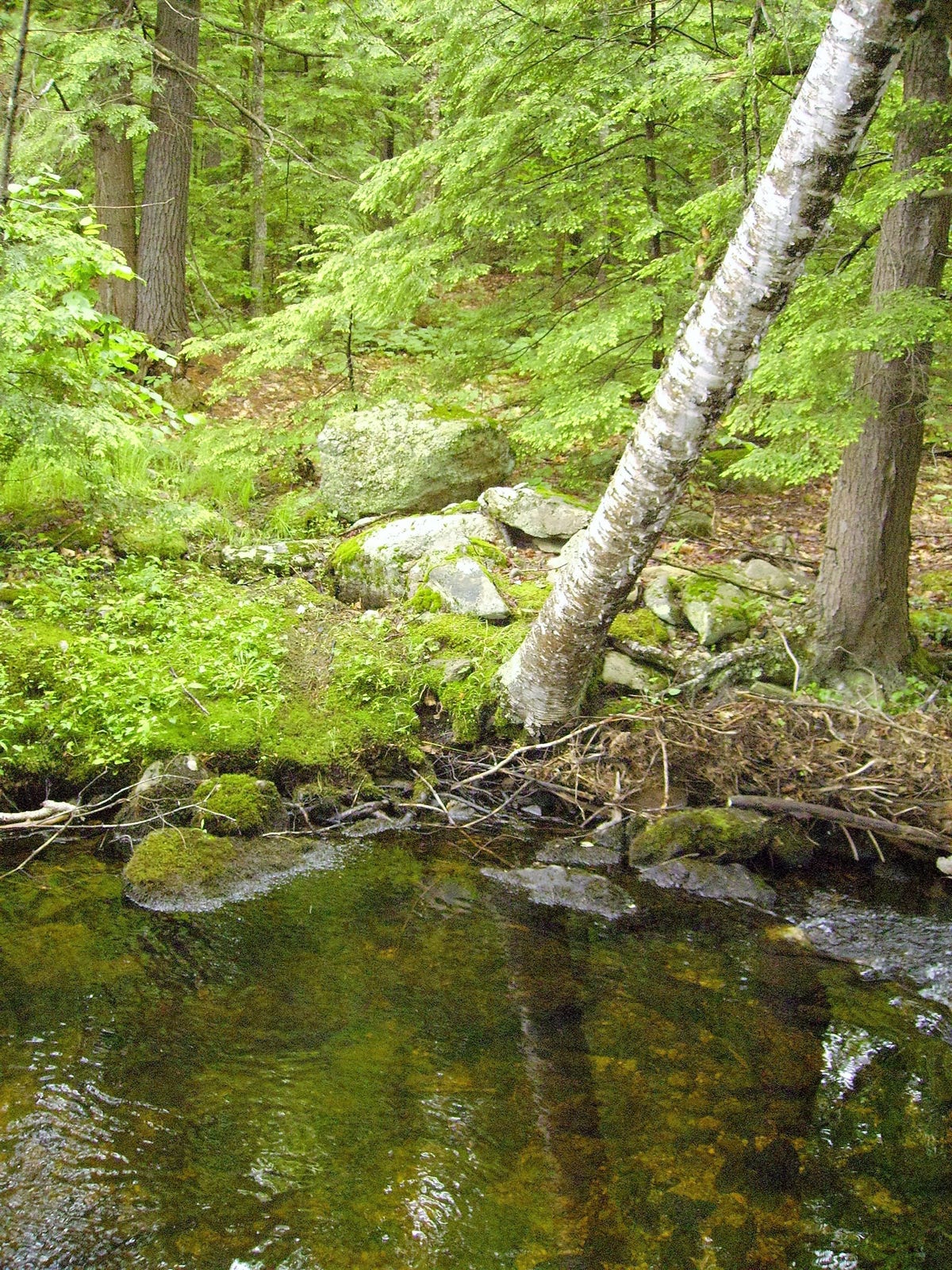
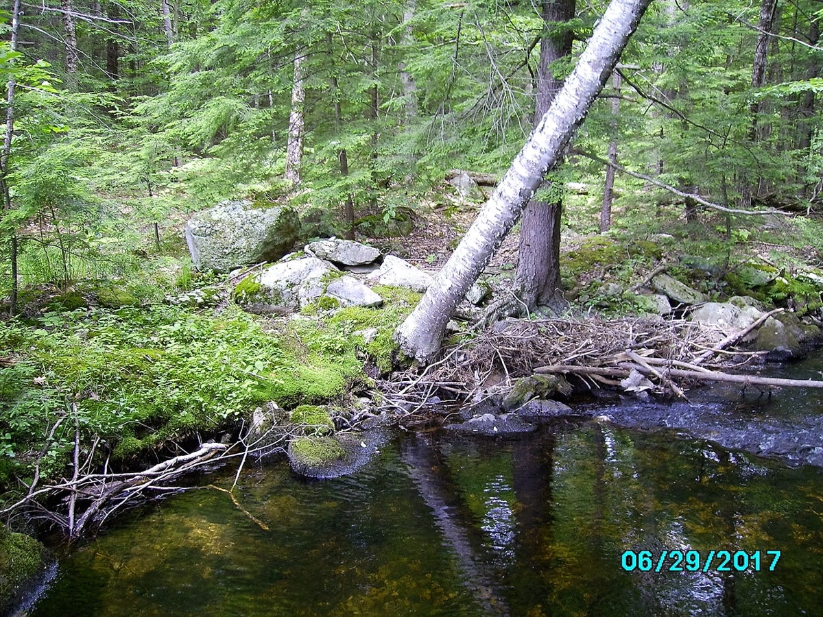
This is looking south, upstream in the outlet from David Pond from the impoundment.
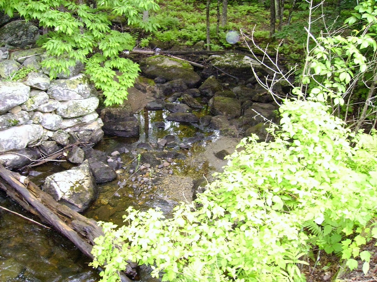
Evidence of stonework from earlier builders in the vicinity of the impoundment, suggests that water control structures have been in place for a considerable time.
From this view water can be seen flowing at lower right. Before the recent disturbances, the overflow was much less.
Local history indicates that several decades ago there were few trees in the area of the impoundment. But now, when trees are uprooted, it can cause problems.